Where we cover
Nick's Weather Report is built around local weather, local places and what you can actually do when conditions change.
Select an area to see the weather and discover what's worth doing.
Current coverage
The service currently focuses on North Devon and its supported locations.
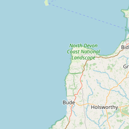
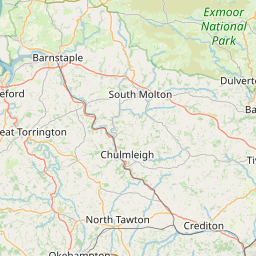
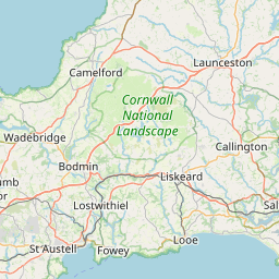
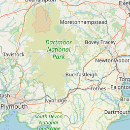

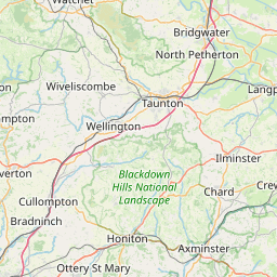
61 of 61 locations shown. Pin colours: Town Village Beach Coast Harbour
Bideford area
Bideford
Historic port on the River Torridge — the gateway to North Devon's Atlantic coast.
Weather: Available
What Can I Do: Available
Northam
Coastal parish adjoining Westward Ho! and Appledore.
Weather: Available
What Can I Do: Available
Westward Ho!
CoastalThe only UK place with an exclamation mark — pebble ridge and sunsets.
Weather: Available
What Can I Do: Available
Appledore
CoastalQuayside fishing village where the Taw and Torridge meet.
Weather: Available
What Can I Do: Available
Instow
CoastalEstuary beach and sailing village opposite Appledore.
Weather: Available
What Can I Do: Available
Buckleigh
Settlement near Northam and Westward Ho!.
Weather: Available
What Can I Do: Available
Abbotsham
Rural parish west of Bideford towards the coast.
Weather: Available
What Can I Do: Available
Landcross
Small parish near the Torridge east of Bideford. (coords approx)
Weather: Available
What Can I Do: Available
Littleham
Coastal parish between Bideford and Abbotsham.
Weather: Available
What Can I Do: Available
Parkham
Rural parish west of Bideford towards Hartland.
Weather: Available
What Can I Do: Available
Buckland Brewer
Inland village between Bideford and the coast.
Weather: Available
What Can I Do: Available
Monkleigh
Parish on the Torridge south of Bideford.
Weather: Available
What Can I Do: Available
Weare Giffard
Riverside village on the Torridge near Bideford.
Weather: Available
What Can I Do: Available
Yelland
Estuary settlement between Instow and Fremington.
Weather: Available
What Can I Do: Available
Hartland & west
Hartland
CoastalRemote Atlantic parish — the most north-westerly point of Devon.
Weather: Available
What Can I Do: Available
Hartland Quay
CoastalDramatic cliff harbour and shipwreck coast. (coords approx)
Weather: Available
What Can I Do: Available
Clovelly
CoastalSteep cobbled street dropping to a historic harbour.
Weather: Available
What Can I Do: Available
Stoke
Parish near Hartland on the Atlantic coast. (coords approx)
Weather: Available
What Can I Do: Available
Morwenstow
CoastalCliff-top parish on the Devon–Cornwall border.
Weather: Available
What Can I Do: Available
Welcombe
Remote parish near the Cornish border west of Hartland.
Weather: Available
What Can I Do: Available
Woolsery
Village (the local name for Woolfardisworthy) with a farm shop and pub.
Weather: Available
What Can I Do: Available
Braunton & coast
Braunton
Surf hub and basecamp for the Braunton Burrows dunes.
Weather: Available
What Can I Do: Available
Croyde
CoastalSurf village with a golden bay and big Atlantic swell.
Weather: Available
What Can I Do: Available
Saunton
CoastalLongboarder's paradise with dunes and consistent waves.
Weather: Available
What Can I Do: Available
Georgeham
Parish inland of Croyde and Saunton.
Weather: Available
What Can I Do: Available
Knowle
Small settlement near Braunton. (coords approx)
Weather: Available
What Can I Do: Available
Marwood
Rural parish east of Braunton, known for its gardens.
Weather: Available
What Can I Do: Available
Heanton Punchardon
Parish on the Taw estuary near Braunton.
Weather: Available
What Can I Do: Available
Ashridge
Small settlement near Georgeham and Croyde. (coords approx)
Weather: Available
What Can I Do: Available
Ilfracombe & north coast
Ilfracombe
CoastalWorking harbour, cliffs and the famous Tunnel Beaches.
Weather: Available
What Can I Do: Available
Combe Martin
CoastalDeep seaside village in a sheltered bay.
Weather: Available
What Can I Do: Available
Woolacombe
CoastalThree miles of award-winning sand, a family favourite.
Weather: Available
What Can I Do: Available
Mortehoe
CoastalHeadland village above Woolacombe, with coastal walks.
Weather: Available
What Can I Do: Available
Lee
CoastalQuiet cove (Lee Bay) near Woolacombe. (coords approx)
Weather: Available
What Can I Do: Available
Berrynarbor
Pretty parish inland of Combe Martin.
Weather: Available
What Can I Do: Available
West Down
Parish between Ilfracombe and Woolacombe.
Weather: Available
What Can I Do: Available
Kentisbury
Rural parish on the edge of Exmoor near Ilfracombe.
Weather: Available
What Can I Do: Available
Barnstaple area
Barnstaple
The regional capital and gateway to the North Devon coast.
Weather: Available
What Can I Do: Available
Bishops Tawton
Parish just south of Barnstaple on the River Taw.
Weather: Available
What Can I Do: Available
Fremington
Estuary parish west of Barnstaple.
Weather: Available
What Can I Do: Available
Roundswell
Modern settlement on the western edge of Barnstaple.
Weather: Available
What Can I Do: Available
Landkey
Parish east of Barnstaple, famous for mazzard cherries.
Weather: Available
What Can I Do: Available
Shirwell
Parish north-east of Barnstaple towards Exmoor.
Weather: Available
What Can I Do: Available
Bratton Fleming
Exmoor-edge village east of Barnstaple.
Weather: Available
What Can I Do: Available
South Molton & east
South Molton
Market town on the southern edge of Exmoor.
Weather: Available
What Can I Do: Available
Chittlehampton
Rural parish south of Barnstaple.
Weather: Available
What Can I Do: Available
Filleigh
Parish on the edge of Exmoor near South Molton.
Weather: Available
What Can I Do: Available
George Nympton
Rural parish near South Molton.
Weather: Available
What Can I Do: Available
Bishops Nympton
Large parish east of South Molton.
Weather: Available
What Can I Do: Available
North Molton
Exmoor-edge village north of South Molton.
Weather: Available
What Can I Do: Available
Torrington area
Great Torrington
Historic market town above the River Torridge.
Weather: Available
What Can I Do: Available
Little Torrington
Small settlement adjoining Great Torrington.
Weather: Available
What Can I Do: Available
Beaford
Rural parish south-east of Torrington.
Weather: Available
What Can I Do: Available
Langtree
Parish south of Torrington towards Bideford.
Weather: Available
What Can I Do: Available
Taddiport
Hamlet on the Torridge beside Great Torrington.
Weather: Available
What Can I Do: Available
Roborough
Parish near Torrington on the way to Hatherleigh.
Weather: Available
What Can I Do: Available
North Devon
Lynton & Lynmouth
CoastalLittle Switzerland of Devon — steep cliffs and the cliff railway.
Weather: Available
What Can I Do: Available
Local businesses
Local businesses can participate where they are relevant to the weather, location and activities visitors are looking for. Local businesses can apply to become Preferred Partners.
Where next?
We're focused on building the best local weather and recommendation experience first. More locations may be added as the service grows.